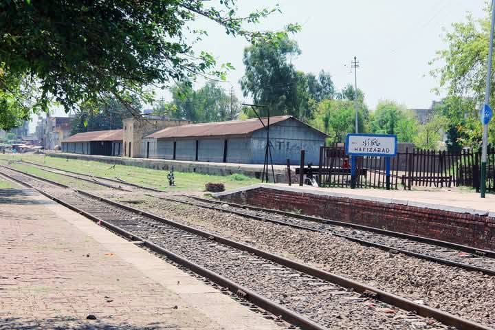
The district is located at a longitude between 73 0 -12 and 73 0 -46 east and at a latitude between 31 0 -45 and 32 0 -20 north. The district spread over an area of 2367 square KM. it is bounded by district Gujranwala to the east, district Jhang and Sargodha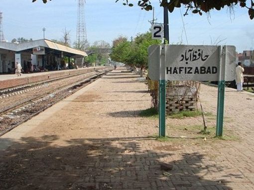 and the River Chenab to the west, district Faisalabad to the south, district Mandi Baha-ud-Din and the river Chenab to the North west, and by district Sheikhupra to the south east. The whole district is a flat alluvial plain divided between low lying alluvial bands and an uplands area. The district is irrigated largely through tube wells as well as to a lesser degree by the lower Chenab Canal . The 1998 census notes that canal irrigation has significantly changed agricultural practice in the district.
Hafizabad district has a combined population of 832980, with a set ratio of just 922 females for the every 1000 males, Tehsil Hafizabad accounts for 58% of the population and Tehsil Pindi Bhattian for the remaining 42%. The district has an average 2.793 households and roughly 19382 population in each of the 42 union councils the dependency ratio is 86.5% for the district as a whole with a higher ratio in rural over urban areas. The average annual growth rate of 2.3% in 1998 has fallen from a rate of 3% recorded in 1981 between the two census periods, population density increased to 352 persons/KM from 240 persons/KM.
Connecting Hafizabadians On The Globe